


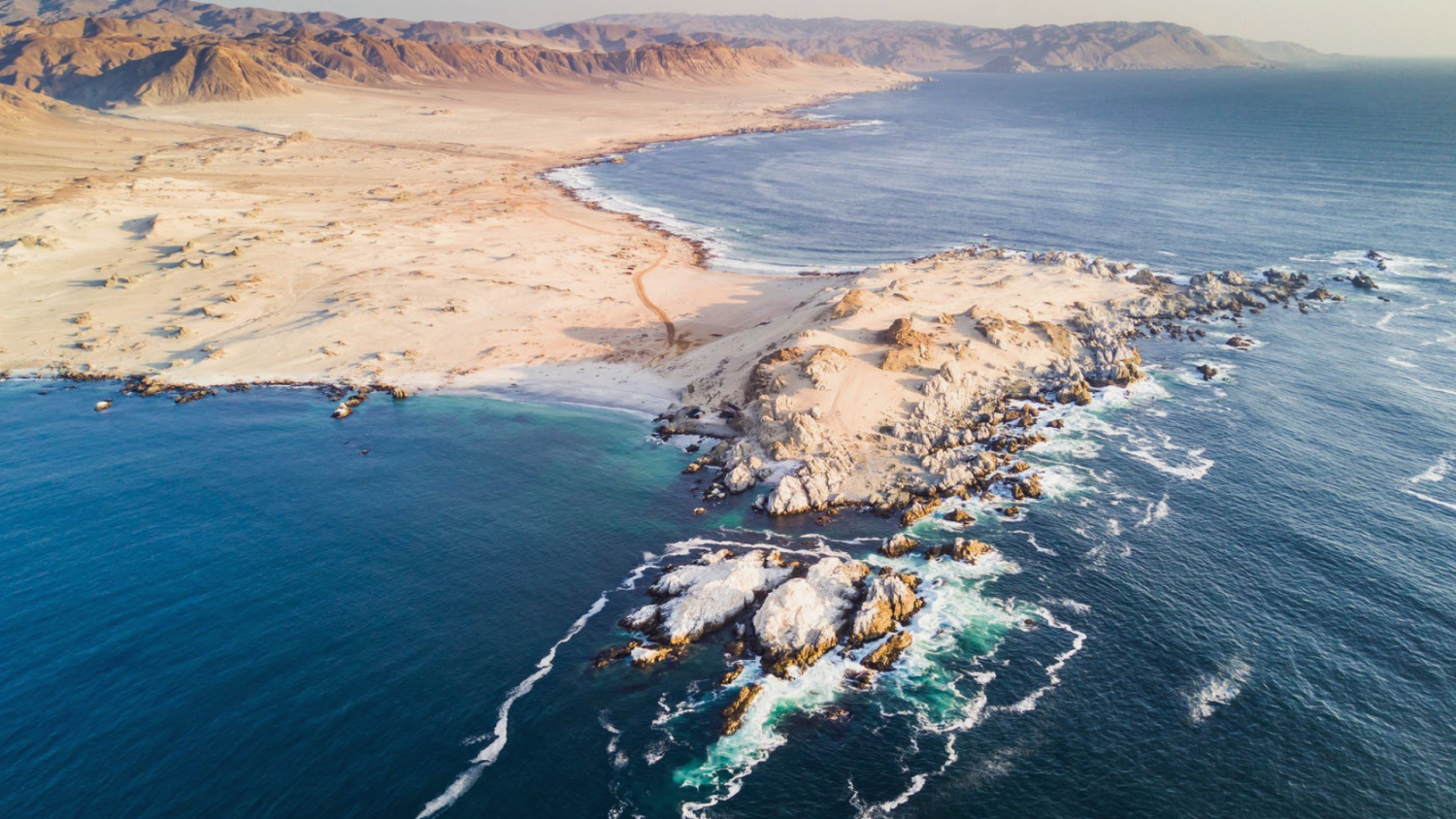
An extraordinarily large tsunami 3800 years ago drove the population of northern Chile from the coast for many generations. This is the conclusion reached by a working group led by Diego Salazar from the Universidad de Chile in Santiago on the basis of geological traces of the monster wave, including mud and debris deposited far inland, typical erosion traces and destroyed stone buildings. As part of the measurement accuracy, these are at the same time as significant changes in the settlement pattern, reports the team in "Science Advances". Archaeological traces show that after the disaster, people settled further away from the coast in higher areas. Based on the evidence, it estimates that the tsunami was triggered by an earthquake with a magnitude of 9.5, about as strong as the 1960 Valdivia earthquake in Chile. This had caused tsunamis of up to 25 meters in height.
Behind the extreme quakes in Chile is the collision of two plates of the Earth, through which the seabed in front of the land dives under the continent into the earth's interior. These areas, called subduction zones, produce the strongest known earthquakes. The slowly advancing seabed hooks up with the edge of the continent and gradually squeezes the earth's crust until the contact zone breaks and snaps back. This movement displaces a lot of water and causes the tsunami waves – the larger the fracture zone, the stronger the earthquake. The experts suspect that 3800 years ago a part of the subduction zone, about 1000 kilometers long, broke in one piece. This would make the fracture zone twice as long as that of the great Tohoku quake of 2011.
Around the time of the alleged tsunamis around, experts located the end of the cultural level known as the "archaic IV", the members of which lived as a fisherman and wild bag near the coast. From the subsequent level "Archaisch V", excavation teams found fewer living sites, fewer artifacts and fewer cemeteries. According to the team around Salazar, the permanent effect that the tsunami had on the population of the dry coastal level indicates the distribution of the cemeteries. While these were between 10 and 25 meters above sea level, after the time in question, there is hardly a foundation below 20 meters.
At the same time, their distance from the sea increased from less than 200 meters to almost always more than 300 meters from the shore. The shift, which can still be detected centuries later, is unique in the more than 12,000-year settlement history of the region, according to the team. How high the tsunami was exactly 3800 years ago can no longer be determined exactly. With the help of computer models of the quake and the distribution of tsunami traces, Salazar's team comes to the conclusion that the waves in many areas of the coast must have been at least 20 meters high, if not significantly more.