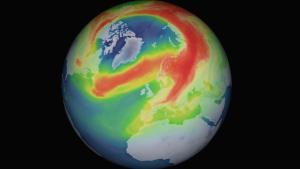


The Australian Meteorological Agency has officially confirmed it: a La Niña event has developed in the Pacific; global consequences for the weather are expected. La Niña is the cold sister of El Niño and is part of regularly recurring changes in ocean currents and atmospheric conditions in the Pacific region. During the period of La Niña, cold water masses dominate off the South American coast and along the equator as far west as Indonesia, while above-average warm water prevails off Australia.
Due to these conditions, it remains very dry on the South American west coast, but in Australia it rains more often. The weather authority therefore expects more precipitation in the north, east and center of the fifth continent. There can also be cycling storms off the coast. For the drought -precision land, this may not be the worst forecasts, even if there can be floods locally. The La-Niña event 2021/22 is the second in a row; The last Australian summer was already dominated. However, such double phases can occur.
However, the meteorologists expect a weaker event, especially compared to the one from 2010 to 2012, when there were major floods in Australia. In addition, it usually becomes critical in the following year: the vegetation is stimulated by the good rainfall. If a dry season then follows again, the plants die off and provide a large amount of fuel. After the event in 2010/11, 100 million hectares in Australia went up in flames, more than in the disaster year 2019/20. At that time, many forests were burning intensively. To date, they have not recovered from this.
La Niña, on the other hand, plays practically no role for our winter. "Already ghosting through the media world, La Niña leads to an icy cold, snowy winter in Central Europe, so you can confidently describe as a coffee grounds reading," the German Weather Service already wrote on corresponding announcements in 2020. There are indications that "the big weather situation at La Niña actually tends to develop an extensive, blocking high -pressure area above the North Atlantic, on the eastern flank of which we could come into a cold north current". But this type of long -distance effect can hardly be determined or only with great uncertainties. So it can come either way.