


The largest known Martian crater may have once experienced two gigantic floods. This is indicated by radar data from the Chinese Mars rover Zhurong from the Utopia Planitia region. As a team led by Chao Li from the Institute of Geology and Geophysics of the Chinese Academy of Sciences reports, there is a more than 70-meter thick stack of two clearly delineated sediment layers below the surface. The data suggested that each of these layers was formed when a large flood deposited material on the bottom of the impact basin, which is more than 3000 kilometers in size, the team writes in "Nature".
For years, experts have been speculating that Utopia Planitia was covered with water in a gray past time - an ocean, as wide as the Arab Sea between India and Africa. Parts of the surface are littered with dozens of kilometers, which are similar to those that arise from the gradual collapse of mud under water. Bowling land forms in the landing area of Zhurong are interpreted as possible remains of mud volcanoes. Some experts even want to recognize traces of former coastal lines in the landscape forms around the area. To date, the area is rich in ice and landscape forms that are associated with ice cream.
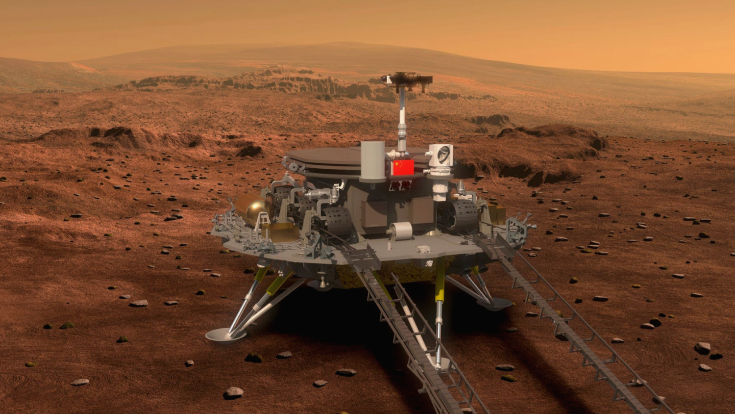
The rover, which landed in May 2021, carries a radar system that maps underground structures to a depth of around 100 meters. Over the distance of 1171 meters, which the rover has traveled since then, he repeatedly carried out measurements. The now published section through the Martian soil shows an approximately ten-meter-thick layer on the surface, which has probably accumulated over the millions of years of impact debris and blown dust. Under it are two layers with a characteristic structure. The material of the layers is getting finer and finer from the bottom up.
Sorting reveals previous floods
This sorting, in which the thickest chunks come to lie at the bottom, is characteristic of material that was transported by water and then settled. Large stones first sink to the bottom, then, as the water becomes calmer, smaller stones, gravel, sand and mud follow. The upper, such layer is about 20 meters thick, the one below it is about 50 meters. According to the working group, the radar data indicate that up to several meters of rock debris could lie in the lowest position at a depth of 80 meters.
The team around LI indirectly determined the age of the alleged flood deposits. Based on the number and size of the craters in the region, the conclusion came about that around 1.6 billion years ago a layer of around 40 meters thick covered the region. This fits well with the upper of the two sorted layers, which would have deposited when Mars already had a relatively cool and dry climate. The lower, thicker layer could be about 3.2 billion years old on the basis of similar estimates using large crater. The two is the still older vastitas boralis formation, which is traded as a possible deficit of a former, permanent north-ocean.
The findings of the ground radar suggest a possible chronology of the water in Utopia Planitia. Accordingly, a gigantic ocean would once have covered the lowlands of the northern Marshemisphere. When Mars became colder and dryer, the sea disappeared. But twice filled huge floods, the mud and rubble tore with themselves, the area temporarily with water. Finally, an icy, dry level remained, in which only traces report the knowledgeable about the moist past.
The problem with the story is that everything about it is speculation. Whether an ocean once covered the Northern Hemisphere is highly controversial. Many experts are critical of the former "bank lines" and other indications. And for the gigantic floods in Utopia Planitia, the only clue so far is the radar images of Zhurong. And their interpretation of the working group around Li is by no means the only possible one. Alternative models would have to be considered in more detail, she then also writes in her publication. This is also in line with what the rover's radar did not find in the ground of Utopia Planitia: liquid water.